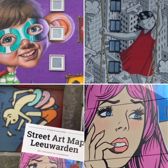
About the Street Art Map Leeuwarden
The Street Art Map is an A3 map with 3 different do-it-yourself routes along the most beautiful street art in Leeuwarden. The information on the map is in Dutch, but you can still use the map even if you don’t speak dutch to hunt the most beautiful street art. Via the QR code on the map, you can also get all the information in English.
On the Leeuwarden city centre route, you’ll also discover plenty of street art among the historic buildings. It is sometimes more hidden and sometimes smaller in size, but definitely worthwhile. This route is 4.5 km long. See a preview on Instagram.
On Street Art Cycle Route you go off the beaten track. Here you will discover the city’s biggest and most beautiful murals, as well as fresh graffiti. The route is 15km long and passes 40 locations where you will discover almost 80 murals! Check out a sneak preview on Instagram.
On the Street Art Cycle Route #2, you will explore the north and east side of the city. This route is 11km long and there you will discover another 25 murals.
Available
Paper Map: The paper map with all 3 routes costs only 5 euro and is for sale at: Leeuwarden Visitor Center, Ut Streekie and the Fries Museum.
Download: You can download the route ‘Street Art Cycle Route‘ as a PDF version. This printable A4 version of the map costs only 3,50 euro. But the other two routes are not included. If you want all the routes, then buy the paper version.
Discover the best stories with a guide
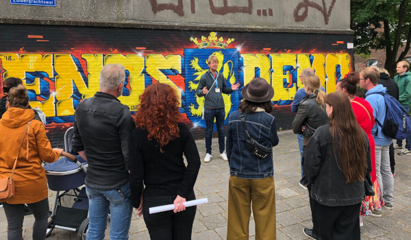
A map will help you discover the most beautiful street art, but the map will not be able to answer all your questions. So do you want just a little more depth and a more personalised tour? Then book a guided Street Art Tour and discover Leeuwarden’s most beautiful street art together with our guide and get the latest news. If you’re also interested in the history of our town, than book our Leeuwraden Free Tour.
